

PIX4Dcatch: 3D scanner
1.30.0 by Pix4D (0 Reviews) May 03, 2026
Latest Version
1.30.0
May 03, 2026
Pix4D
Tools
Android
0
Free
com.pix4dcatch
Report a Problem
More About PIX4Dcatch: 3D scanner
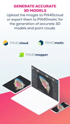
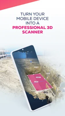
The application allows users to easily gather data by simply pointing and shooting with their mobile device. This data can then be used to generate accurate 3D models, allowing users to recreate reality and measure their surroundings. The collected images can be uploaded to PIX4Dcloud or exported to PIX4Dmatic for georeferenced 3D model generation. Both options offer a 15-day trial for users to get started. Additionally, projects can be freely exported and processed in third-party photogrammetry software.
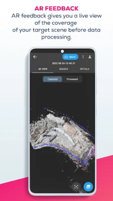
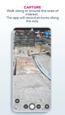
The workflow for using the app is simple and efficient. Users can walk around their desired site while the app automatically gathers data and provides live feedback to ensure all details are captured. The data can then be uploaded to PIX4Dcloud or exported to PIX4Dmatic for processing, resulting in high-quality and accurate 2D and 3D outputs. Finally, users can analyze and share their results, as well as measure the space, making it a useful tool for tracking stockpiles, measuring volumes, and keeping records of underground piping or work.
The app is compatible with all ARCore-enabled devices, making it accessible to a wide range of users. However, Google Play Services for AR must be installed in order to use the app.
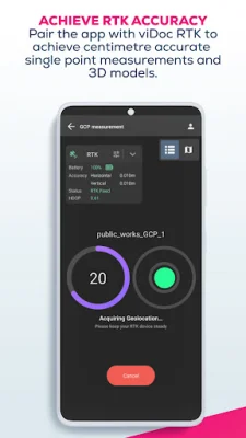
It is important to ensure that the app is up to date and to use it only in safe environments. The app should not be misused, as Pix4D accepts no liability for any damage, injuries, or legal issues that may arise. With its user-friendly interface and advanced features, this app is a valuable tool for digitizing reality and enhancing accuracy with viDoc.
Rate the App


Popular Apps