

QField for QGIS
4.2.8 - Coral Sea by OPENGIS.ch (0 Reviews) July 11, 2026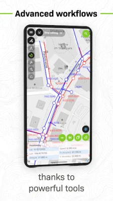
Latest Version
4.2.8 - Coral Sea
July 11, 2026
OPENGIS.ch
Tools
Android
0
Free
ch.opengis.qfield
Report a Problem
More About QField for QGIS
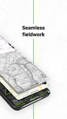
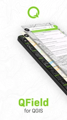
QField is a mobile application that allows for efficient and professional GIS fieldwork. It is based on the powerful QGIS software and provides fully configured GIS projects that can be accessed both online and offline. This makes it a convenient tool for fieldwork, even in remote areas.
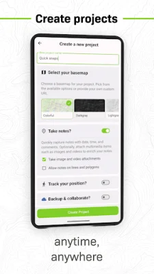
The app offers seamless cloud synchronization through QFieldCloud, allowing for real-time collaboration and effortless syncing of data and projects between the field and office. Even when working offline, any changes made are stored and automatically synced once connectivity is restored. However, users also have the option to load data through other methods such as USB, email, downloads, or SD card.
QField also supports high-precision GNSS (Global Navigation Satellite System) through the use of external receivers connected via Bluetooth, TCP, UDP, or mock location. This allows for accurate data capture using the device's internal GPS.
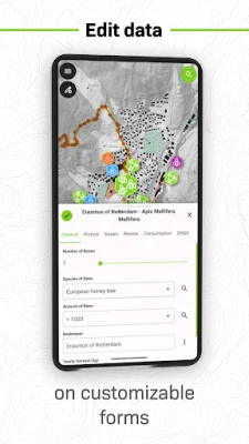
Some key features of QField include support for various project formats such as .qgs, .qgz, and embedded QGIS projects, customizable forms, map themes, and print layouts, real-time GPS tracking with altitude, accuracy, and direction, and the ability to edit spatial data offline. Users also have the option to sync projects and updates with QFieldCloud, although this is optional.
The app supports a range of formats for both vector and raster data, including GeoPackage, SpatiaLite, GeoJSON, KML, GPX, Shapefiles for vector data, and GeoTIFF, Geospatial PDF, WEBP, JPEG2000 for raster data.
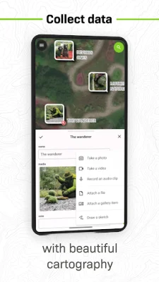
For those looking to customize or add new features to QField, they can contact the developers through their website. The app may request location access to display the user's position and collect spatial data, and external GNSS is fully supported for high-precision needs. Any questions or issues can be reported through the app's website, where users can also request new features or report bugs.
Rate the App












Popular Apps